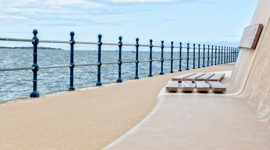
How the West Kirby flood wall works
The West Kirby flood wall is 1.1 km long and 1.2 meters high and was built to provide greater protection to the road and properties against storm surges and high tides.
The wall incorporates a series of access points which provide numerous places for people to access the promenade, but when a high tide or storms are forecast these access points can be closed off.
The council receives notices for flood alerts from the Environment Agency and these alerts are assessed alongside weather reports and tidal information. If conditions indicate there may be flooding the council’s highways team will be sent to close the flood gates.
The blue sliding and swinging gates are closed by the highways team just before high water if a flood risk is forecast. This process to close off the flood wall can take up to six hours so is always done in advance when there is a flood alert.
Any water that may get over the wall, such as wind-blown spray, will have had its energy reduced by the design of the wall and will no longer travel as waves across the road and into nearby properties.
Overtopped or surface water will drain away through the existing highway drainage system. In addition the promenade has a sloping gradient which allows any flood water to drain back quickly into the marine lake.
Part of the Old Baths Site is lower than the promenade and will be submerged more frequently than other areas but this will not lead to the closure of the promenade.


